About Forest park
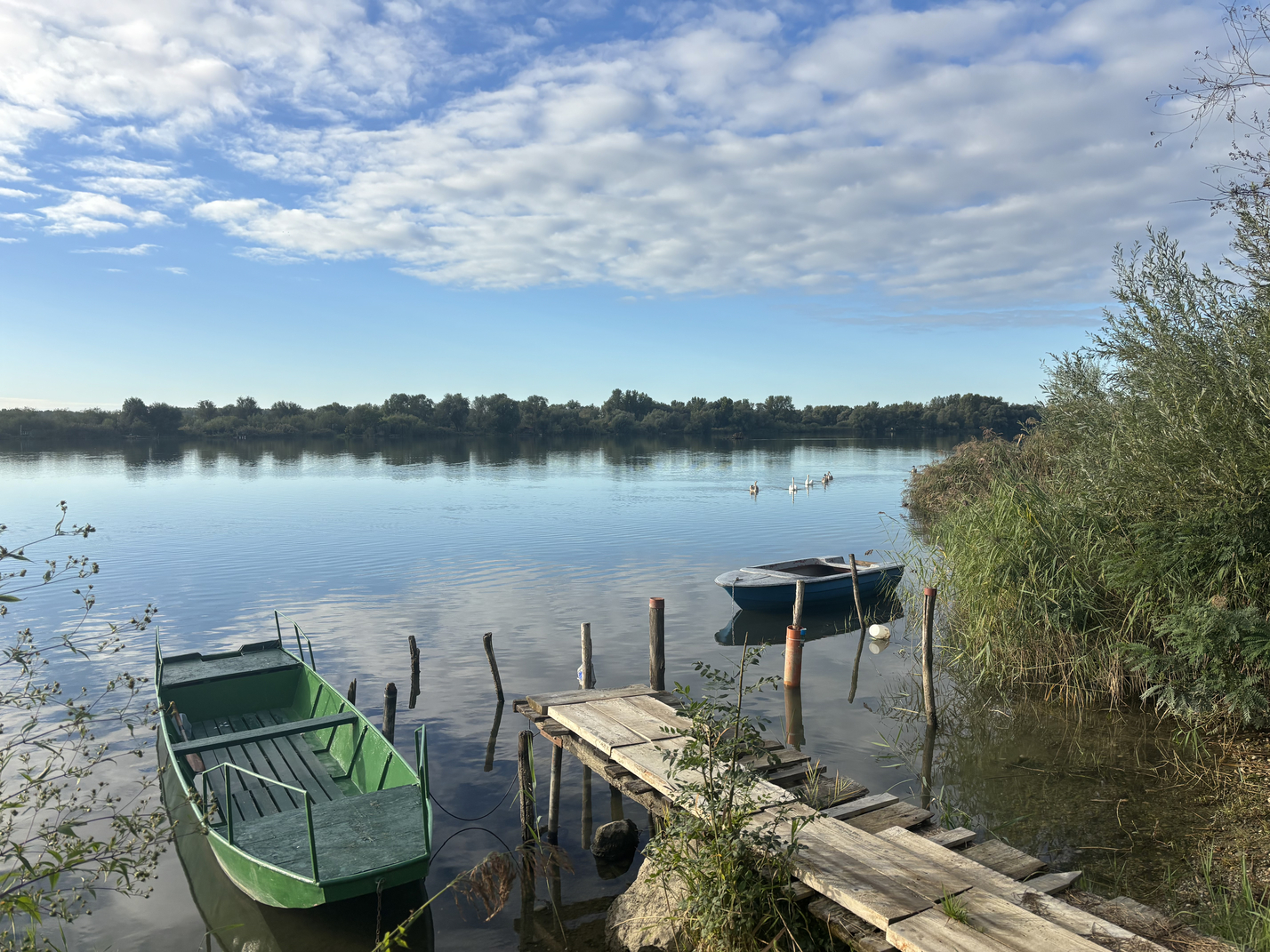
Dravska park-šuma je jedina veća, starija i kompaktna šumska površina u širem okruženju grada Varaždina. Kako se nalazi u rubnom dijelu grada, na nekadašnjem poplavnom području uz rijeku Dravu kao prirodnu prepreku za širenje naselja, šuma je ostala očuvana do današnjih dana.
Ovo područje danas je najatraktivnije šumsko područje i prirodno izletište uz Dravu u Varaždinskoj županiji i u gornjem dijelu dravskog ekosustava u Hrvatskoj, a karakteristično je po svojoj izuzetnoj biološkoj raznolikosti. U tom području, koje već desetljećima predstavlja glavno prirodno izletište građana Varaždina, posađeno je tijekom 20. stoljeća raznovrsno alohtono drveće, koje mu je djelomice dalo i parkovna obilježja.
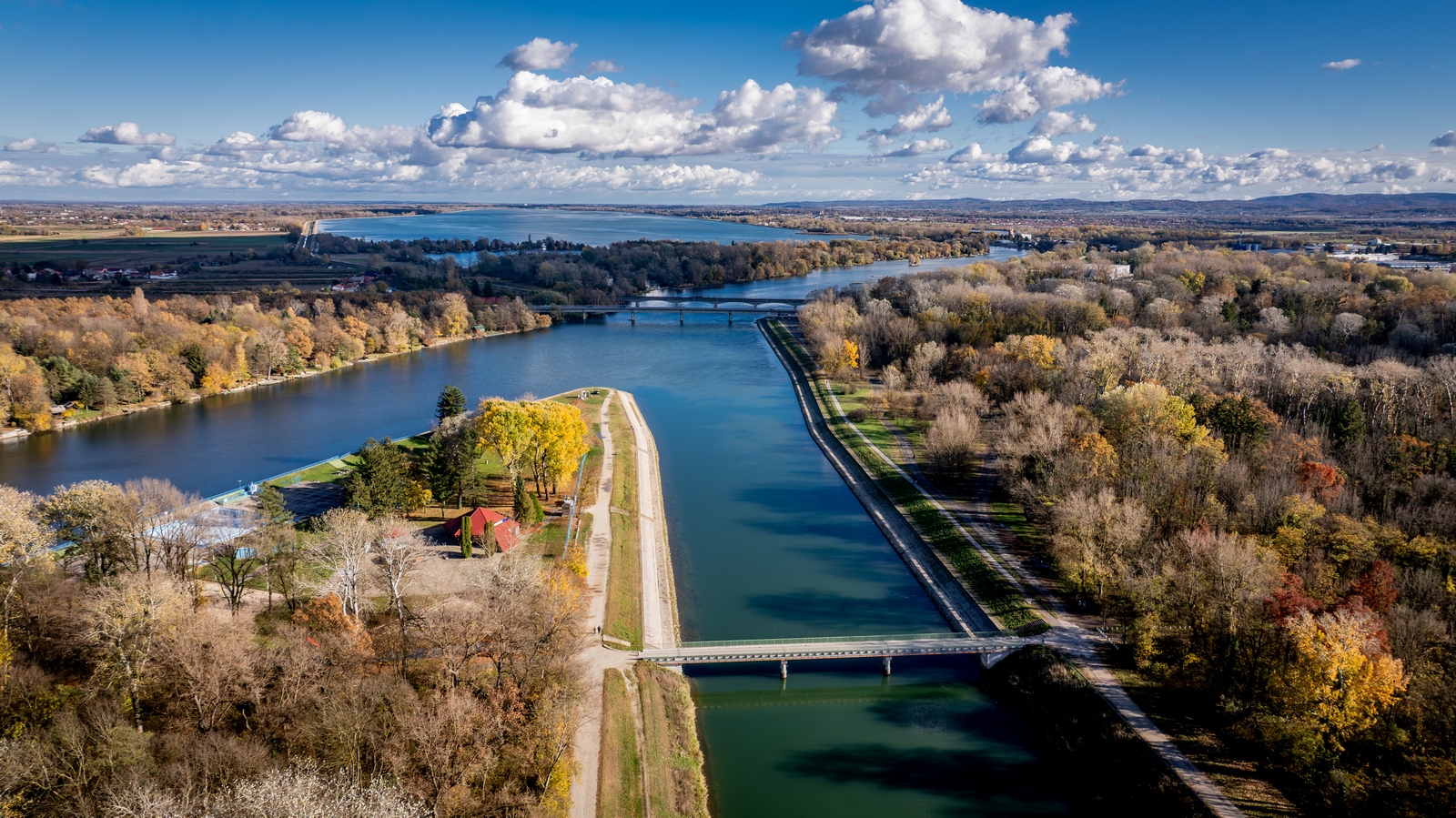
Smještena je u sjevernom dijelu grada Varaždina, između naselja Banfica i rijeke Drave, Dravska park-šuma proteže se uz desnu obalu rijeke Drave u smjeru sjeverozapad-jugoistok, dok ju odvodni kanal HE „Varaždin“ dijeli na dva dijela: manji sjeverni (38 ha) i veći južni dio (49 ha). Prosječna nadmorska visina je 170 metara, a s pripadajućim šumskim čistinama zauzima ukupnu površinu od oko 87 ha.
Dravska Park-šuma danas je prostorno sastavni dio grada Varaždina. Po svojoj prirodnoj i biološkoj strukturi Park-šuma ne čini urbano i izgrađeno tkivo grada, ali je sadržajno i funkcionalno njegov nedjeljiv dio. Naime, Park-šuma s rijekom Dravom čini prirodnu osnovu Grada. Grad Varaždin kao urbana cjelina nužno treba i prirodna područja koja generiraju i nude sadržaje u funkciji rekreacije, sporta i provođenja slobodnog vremena, jer predstavljaju „zelena pluća grada“ te osim toga imaju važnu ekološku ulogu.